Portfolio
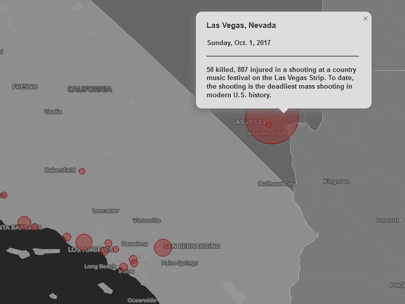
Patterns of Mass Shootings
Understanding the Impacts of Gun Laws and Gun Ownership on Mass Shooting
Incidents
CSV data, geoJSON data, Leaflet
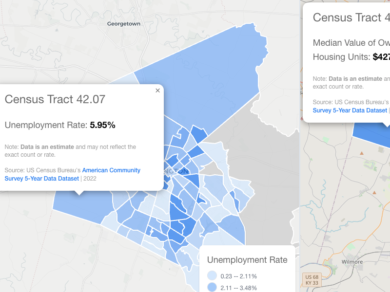
US Census Equity Map
Visualizing socio-economic and demographic data from the US Census API.
React, US Census API, geoJSON data
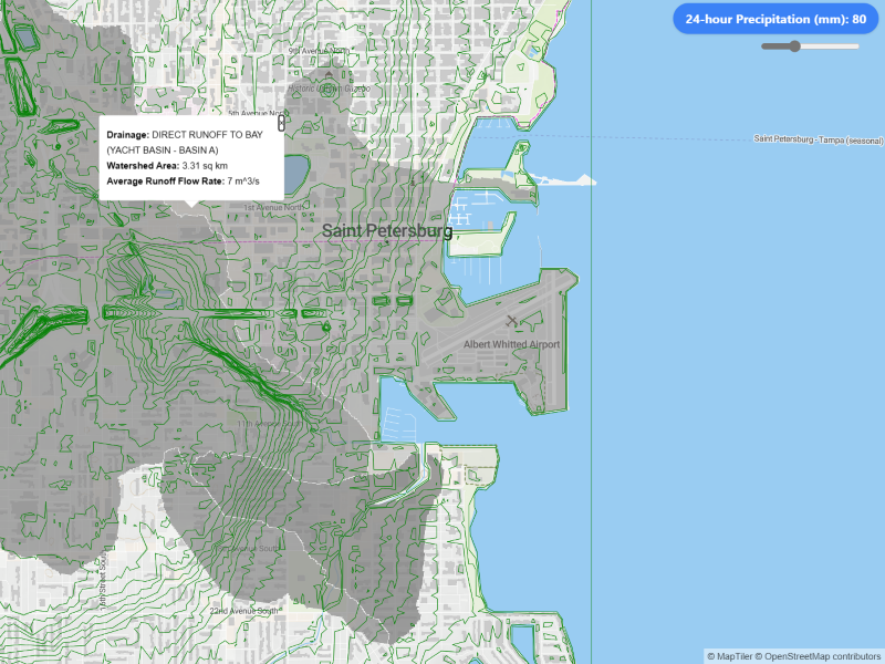
Pinellas Watershed Analysis
Calculating drainage rates based on user provided precipitation input
Vite, QGIS, MaplibreGL, Turf.js
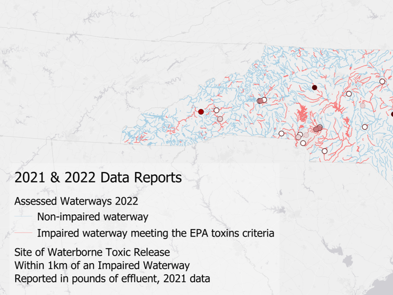
Analyzing Toxic Release Data
Correlating toxic release inventory data to North Carolina's known impaired waterways
QGIS, Mapbox Studio
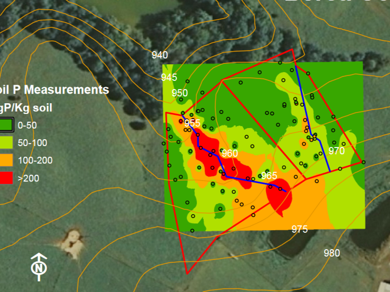
Predicting Soil Nutrient Levels
Interpolation of soil Phosphorous levels surrounding a CAFO waste
lagoon
ESRI ArcGIS
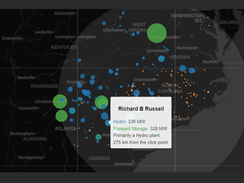
Visualizing Infrastructure
An interactive map and data visualization of power plants across the United States
geoJSON data, Leaflet
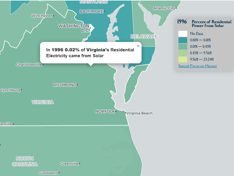
Thirty Years of Solar Power
Explore US solar power adoption data from a live API.
EIA API data, geoJSON data, Leaflet
